Saturday, July 31, 2021

Yellowstone NP July 31

 July 31, we drove to Mammoth Hot Springs, the north entrance at Gardiner, MT. The west and north entrances to Yellowstone are actually in Montana so you cross the Wyoming state border to enter the park. The Roosevelt Lodge is half way around the Grande Loop Road. The road was closed beyond the Lodge so we had to return thru Mammoth on US-89. 

The road to Mammoth Hot Springs.


Located at Hot Springs.

The road downhill to the north entrance.

Elk near the road at the north entrance to Yellowstone.

My zoom lens works great. 

Established 1906 after a trip to the area by President Theodore Roosevelt.


Road closed, turn around, go back the way we came here.


Yellowstone NP July 30

Some people told us three days was all you needed to see Yellowstone. Not true. The park has 2.2 million acres. We have four days and that is not enough to see it all. We have not been going indoors at all, avoiding Covid-19 so we have been outdoors only. We are not walking trails, but if we did it would take another week. If you want to get around to all the major sights, a lot of driving is required. Everything thing is 25-30 miles apart or more. Roads are good but lots of traffic. Parking lots are full so some places we could only drive by. Scenery is great and I really like my $44.00 dash camera.

July 30, we drove the main interior loop, about 160 miles. It was a full day. There were some Bison on the road and a few Elk in the fields. Early morning or late evening are the best times to see wildlife.


Crossed this at least six times during our visit at the park.


July 31, we drove to Mammoth Hot Springs, the north entrance at Gardiner, MT and to the Roosevelt Lodge on the Grande Loop Road. The road was closed beyond the Lodge so we had to return thru Mammoth on US-89. 


Friday, July 30, 2021

Yellowstone National Park

 We have planned three times to see Yellowstone. This time we are here for five days. There is a large crowd in the town of West Yellowstone. West Yellowstone is in a small corner of Montana but the park is in Wyoming. We drove in on US-191 from I-90. That road is scenic but extremely busy with lots of truck traffic on a two lane road. It is somewhat narrow in the mountain area of the road and everyone wants to drive far past the speed limit of 55 mph. We are staying at the Grizzly RV Park. We drove through some rain and when we arrived, the parking lot at the registration office was flooded. More rain is forecast for this week.


Must have been a very heavy rain here.


Park sites are nice but too many trees made parking a problem.


Thursday, July 29, 2021

Montana

Things we found about Montana

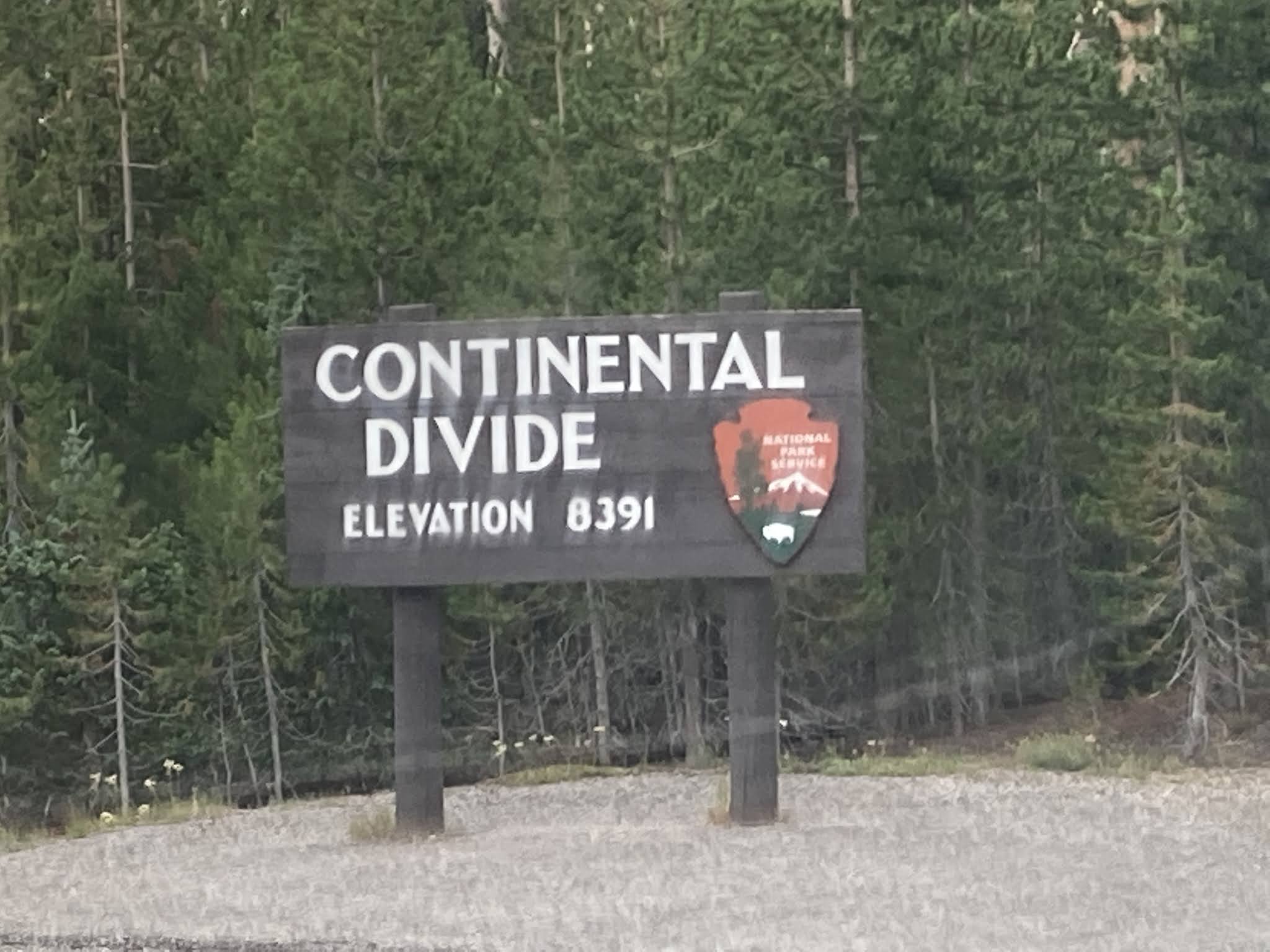
We have been in Montana for two weeks. These are the things we observed in this state. We have crossed the Continental Divide two times at Glacier National Park and two times as we drove west to Glacier then back to the east on I-90 on our way to Yellowstone NP.

Lots of big mountains, elevations can be up to 9000 feet.

Average land ground elevation is usually about 3000 feet.

Smoke everywhere from forest fires.

Small casinos at every gas station, many are a mile apart.

Drivers like to drive 80 mph.

Larger cities are far apart, 80-100 miles.

Many Indian reservations in the state.

Cattle can be on roadways.

Open range means cattle can be anywhere.

Lots of vehicles pulling small flatbed trailers, most empty.

Rodeos and cowboys in many miles of flat land areas.

We did not notice the hot temperatures because the humidity is low.

Montana is the fourth largest state with 147,039 sq miles but only 1.69% of water area.


Continental Divide Elevation 6647 Feet
Logan Pass in Glacier NP

My camera did not get this photo, this is from wikipedia.
Elevation is 6329 feet. This sign is not visible from I-90.


Monday, July 26, 2021

Going to the Sun Road again

 Yesterday we made our last trip into Glacier National Park. We drove east on US-2 which follows the south end of the park and ends up on the east side of the mountains. We went north on US-89 to the Canada border. Then we went back to St. Mary and entered the park from the east entrance. From there we drove the entire Going to the Sun Road then back to our RV at Columbia Falls. The entire trip was about 250 miles, a long day of driving the mountains. We leave Columbia Falls on Tuesday, heading east and south to Yellowstone National Park.

The Marias Pass elevation is 5,213 feet, a mountain pass in the Rocky Mountains. It is on US-2 and along the BNSF rail line. It is the lowest crossing of the Continental Divide between the Canada border and New Mexico and is open to automobile traffic year-round.


Two Medicine valley from MT-49


Cattle running across the road. Signs indicate "open range" in many areas.

Here comes the Canada border but we turned around.

This is as far north as you can go in the US.


This area is in the Blackfeet Indian Reservation.
They have their own police, laws and regulations.


A Prairie Dog greeted me while taking these photos.

Looking west from the Blackfeet sign, it almost looks like Devils Tower again.
The wildfire smoke today spoiled the view in many places.


These three videos are some of the many my dash camera captured. I have many more but these show what the drive across the Going to the Sun Road looks like. Each video is 4 minutes long. Click on the arrow twice to start the video.


Thursday, July 22, 2021

Going to the Sun Road

In the Glacier National Park, driving this road had to be done after 5:00 pm when the park gate was unmanned. This avoided to "ticket" to drive during the day. Daylight here is good until after 10:00 pm, due to being farther north of the equator. We started about 4:30 pm and finished by 9:00 pm. We decided to enter at the north entrance to avoid the crowds, not my best idea. The road was good blacktop until the blacktop stopped. The 12 miles of rough gravel road was all washboard and shook the Jeep all the way. The Jeep survived but we wondered if it would. After reaching the north entry, we made it as far as Logan Pass, the Continental Divide.  US-2 is being paved so we are planning for Sunday afternoon, if paving has halted, and NOT going through the north entrance. That way we will make it to the east side of the mountains and return on the Going to the Sun Road.

https://www.nps.gov/glac/planyourvisit/gtsrinfo.htm


The gravel road was Forest Service property.

The video below is the gravel road.
Watch and you will see the Jeep shaking.
It was much worse than the camera shows. 


The first thing you pass on the Going to the Sun Road is Lake McDonald. 
It was formed by glaciers thousand of years ago.

The blue lake water is crystal clear.


After the lake, elevation starts to increase.
The video below is from the higher elevation, heading to Logan Pass.


Some snow remains. The road was closed until the middle of
June due to snow. Plows work for weeks to clear the road.


Water always drains from the Weeping wall.

Logan Pass is about 1/2 way to the east entrance.
That was far enough so we could return before dark.